The land between Labin and the sea drops 300 metres in four kilometres. That single fact shapes every walk and every ride here: nothing is flat, everything has a view, and you will be either climbing or braking.
The coastal path
A path runs along the shoreline through the pine belt above Rabac's coves, linking one bay to the next. It is mostly level, mostly shaded, and mostly unpaved. In the morning it is the best walk in the area: you get the sea on one side, the smell of hot pine on the other, and access to coves you cannot reach by car.
Wear proper shoes. The surface is loose limestone in places and it is polished smooth where thousands of feet have passed.

The old route between Labin and Rabac
Before the road, miners walked between the town and the coast. The path is still there, marked, and it climbs steadily through woodland from sea level to the walls of the old town. An hour to an hour and a quarter going up, considerably less coming down, and shaded almost the whole way.
Do it downhill in the afternoon if you have a way of getting up there, or uphill early before the heat arrives. Doing it uphill at two in the afternoon in August is a decision people make once.
What the riding is like
Forest tracks and old service roads spread across the ridge behind Labin, and they connect. The surface is limestone gravel and packed earth, with rocky sections where the rain has taken the fines away. It is technical enough to be interesting and rarely dangerous — this is not alpine riding.
The climbs are the point. There is little rolling terrain; you gain height or you lose it. A hardtail is plenty. Bring more water than you think, because there is nowhere to fill up once you are on the ridge.
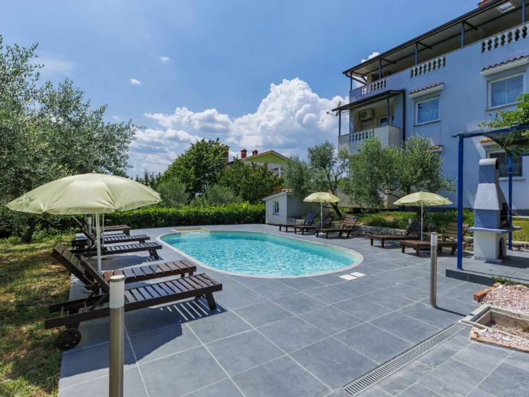
Where to stay
Apartment Gordana
When to ride and walk
April to early June, and mid-September through October. In those months the temperature suits a long climb, the ground is dry, and the tracks are empty. July and August are for early mornings only — out by seven, back by ten — or for the shaded coastal path.
Winter riding is genuinely good here. It rarely freezes at this altitude, the tracks drain fast, and you will have the ridge to yourself. What you do get in winter is the bura, the northeasterly wind, which can be strong enough to make an exposed ridge unpleasant. Check the forecast for wind rather than rain.
Practical notes
Trails are marked with the standard Croatian red-and-white blazes, but signage thins out away from the main routes; carry a map on your phone and download it offline, because coverage in the valleys is patchy.
Ticks are present in the undergrowth from spring to autumn. Check yourself after riding through long grass. It is a routine precaution here, not a cause for alarm.


